Screenshots


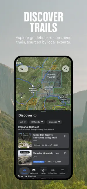


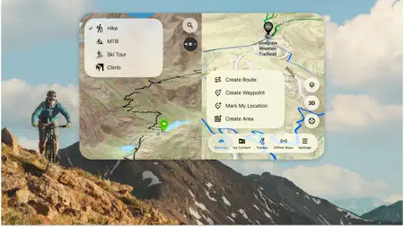
Icon palette
About this app
Discover new hiking and mountain biking trails. onX Backcountry features 650,000+ miles of trails, 300,000+ rock climbs, and 4,000+ ski routes. Whether you’re scouting new terrain or navigating maps in the field, onX Backcountry is the ultimate app for offline outdoor recreation. Use trustworthy data to elevate how you move through the wild. Plan your hiking, mountain biking, backpacking, or skiing activities with clarity on terrain, conditions, and routes. With LiDAR topo maps, GPS tracking, and 3D offline maps, onX Backcountry is built for the decisions that make or break your days in the field. Choose your own adventure with activity-specific Map Modes. Toggle Map Layers to show nearby hazards such as wildfires or avalanche terrain. Study distance and elevation gain, and visualize your trip in 3D, even without cell service. Access a reliable offline GPS mapping app, built for remot…
App details
What you can learn from onX Backcountry: Trail GPS App
Every shipping app on the App Store has gone through the same decisions you're working through right now: which screenshot goes first, what caption sits over it, which device frame to show, what color the background should be. The 7 screenshots above are onX Backcountry: Trail GPS App's answers to those questions — they're public, they're real, and they made it through Apple's review.
Notice the first screenshot in particular. It's the one users see in search results and on the product page, and it's where most apps spend their best caption and tightest design. Look at the proportion of background to phone, where the text sits, what one thing the image is trying to communicate.
Want to see how other Navigation apps approach the same problem? Browse more Navigation apps in the showcase.
Take what works into your own screenshots
Open LaunchShots and design your App Store & Google Play screenshots — pick a device frame, drop captions, ship in minutes. Free, in your browser.
Open the screenshot editor →