Screenshots
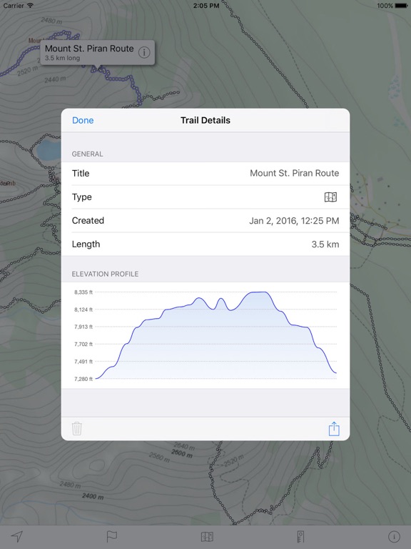
iPad screenshots



Icon palette
About this app
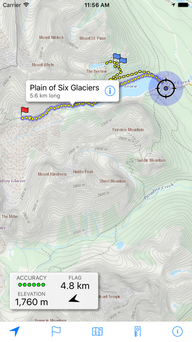
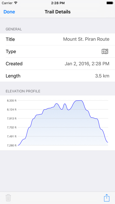
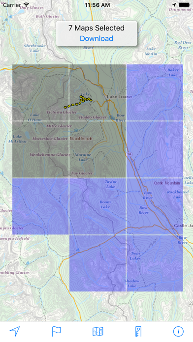
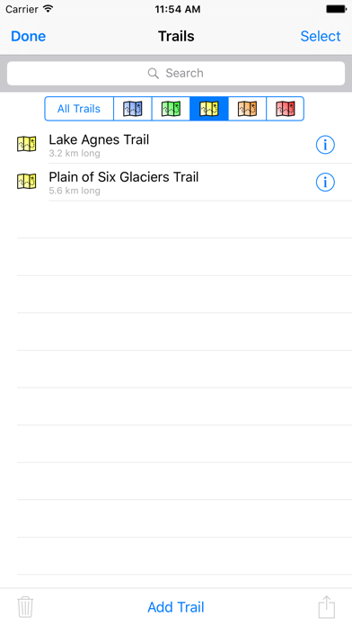
Download and view topographic maps covering Canada. Topographic maps are useful for recreational activities such as hiking, canoeing, camping, fishing, mountain biking, geocaching, and exploring. MAPS Choose from 3 map sources: Canada Base Map (shaded/unshaded), and Toporama. OFFLINE Download maps for areas of interest to view them later when you don't have Internet access or you don't want to use cell data. TRACKING Use location tracking to show where you are on the map, your elevation, and the accuracy of the GPS signal. FLAGS Flags are included with map downloads. Add flags (waypoints) to the map to mark your current location or other locations. Import flags from other sources using GPX files and geocache LOC files. Share flags with others using email or AirDrop. Organize your flag types by color, for example, geocaches, trailheads, and summits. TRAILS Trails are included with …
App details
What you can learn from Topo Maps Canada
Every shipping app on the App Store has gone through the same decisions you're working through right now: which screenshot goes first, what caption sits over it, which device frame to show, what color the background should be. The 10 screenshots above are Topo Maps Canada's answers to those questions — they're public, they're real, and they made it through Apple's review.
Notice the first screenshot in particular. It's the one users see in search results and on the product page, and it's where most apps spend their best caption and tightest design. Look at the proportion of background to phone, where the text sits, what one thing the image is trying to communicate.
Want to see how other Navigation apps approach the same problem? Browse more Navigation apps in the showcase.
Take what works into your own screenshots
Open LaunchShots and design your App Store & Google Play screenshots — pick a device frame, drop captions, ship in minutes. Free, in your browser.
Open the screenshot editor →