Screenshots

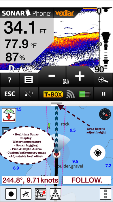
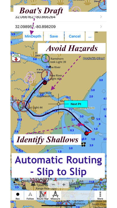
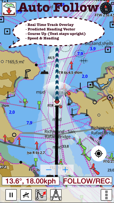
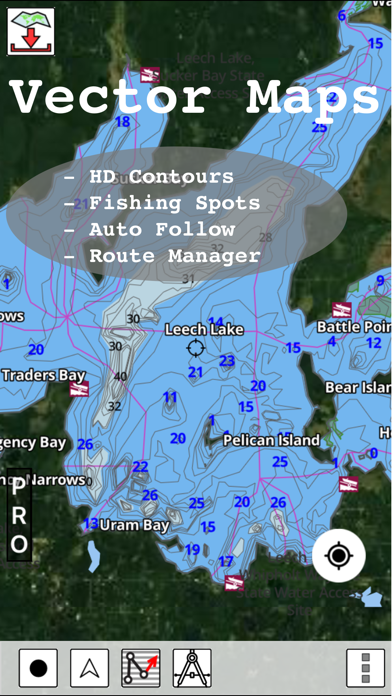
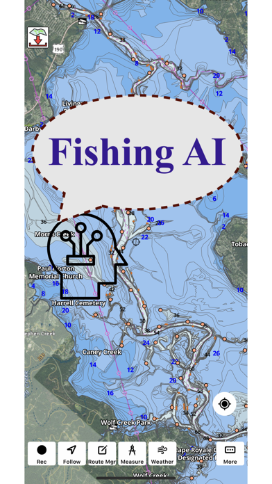

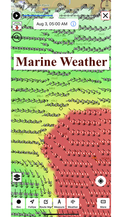
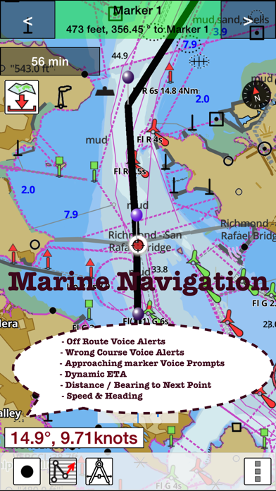
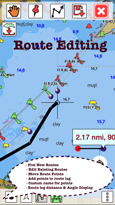
iPad screenshots



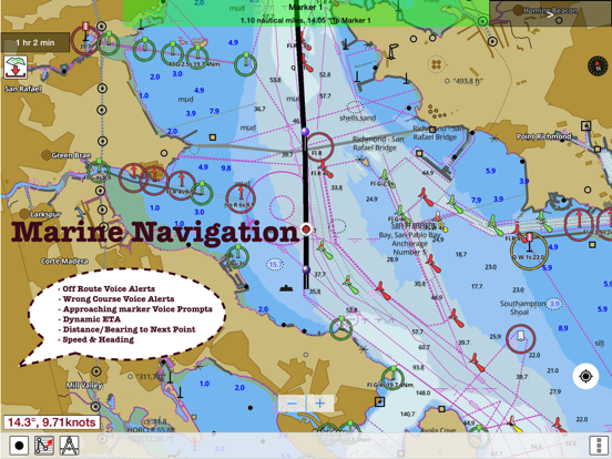
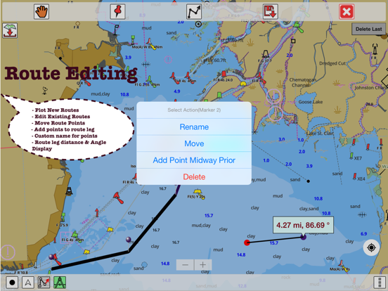
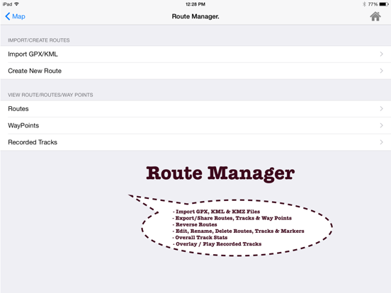
Icon palette
About this app
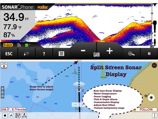
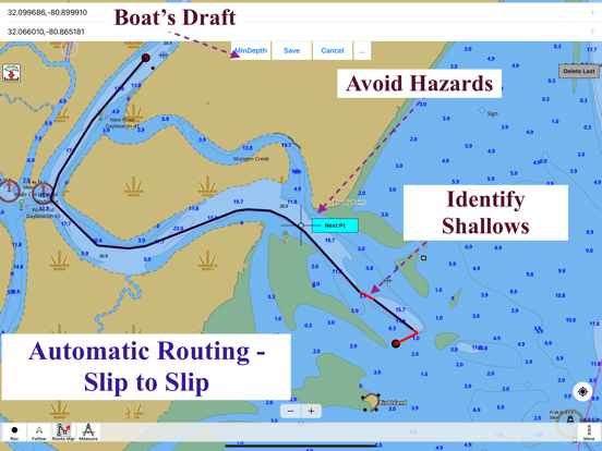
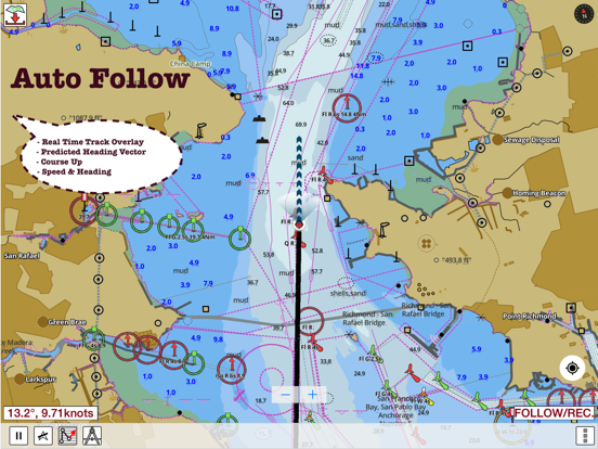
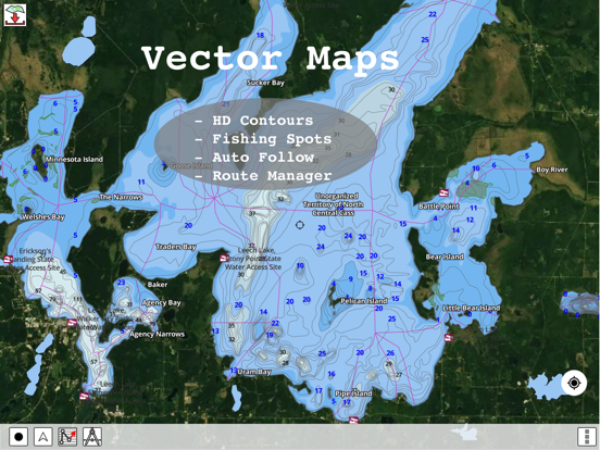
This App offers access to Marine Charts for USA,Canada,UK/Ireland,Germany,Netherlands/Holland & Europe Rivers (Danube,Drava,Rhein etc). Coverage includes NOAA marine vector charts,freshwater lake maps,USACE inland river maps (HD/1ft/3ft bathymetry included where available),charts derived from UKHO & CHS data. First marine GPS app to have route assistance with Voice Prompts for marine navigation. You can create new boating routes or import existing GPX/KML routes. It supports Nautical Charts course up orientation. Includes Tide & Currents prediction. ►FEATURES √ Beautiful & detailed Hardware/GPU accelerated vector charts (text stays upright on rotation) √ Long press to query the details of Marine object (Buoy,Lights,Obstruction etc). √ Customizable depth(Ft/Fathom/Meter) & distance units(km/mi/NM) √ Customizable Shallow Depth. √ Record tracks,Autofollow with real-time track overlay & p…
App details
What you can learn from i-Boating: Marine Charts & Gps
Every shipping app on the App Store has gone through the same decisions you're working through right now: which screenshot goes first, what caption sits over it, which device frame to show, what color the background should be. The 20 screenshots above are i-Boating: Marine Charts & Gps's answers to those questions — they're public, they're real, and they made it through Apple's review.
Notice the first screenshot in particular. It's the one users see in search results and on the product page, and it's where most apps spend their best caption and tightest design. Look at the proportion of background to phone, where the text sits, what one thing the image is trying to communicate.
Want to see how other Navigation apps approach the same problem? Browse more Navigation apps in the showcase.
Take what works into your own screenshots
Open LaunchShots and design your App Store & Google Play screenshots — pick a device frame, drop captions, ship in minutes. Free, in your browser.
Open the screenshot editor →